
Services
Helicopter Gradiometer & Radiometrics
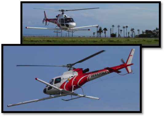
Helicopter Gradiometer & Radiometrics
- Composite three-boom mountings, featuring high speed synchronous data sampling and gradient sensor configurations is able to maintain a minimum drape surface height essential for collection of high resolution data.
- The system has been proven on a number of programs.
Magnetics
- Airborne magnetic data is a mainstay in nearly all exploration, providing essential informative data to assist with complicated geology to structural mapping.
- Low survey height will increase the high frequency content supplying far more interpretive information.
- By utilizing our gradient system (up to Tri-axial) you will achieve improved :
- Spatial positioning of anomalies
- Resolution of line parallel features
- Overall resolution – equivalent to flying at tighter line spacing
- Definition of short-wavelength anomalies
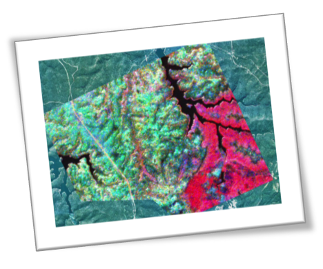
Radiometrics
Airborne radiometric surveying measures geochemical differences of potassium, uranium and thorium in the upper sub surface Radiometric is a methodology of assisting in the mapping of lithology and alteration areas. The APG helicopter system will allow full gradient and radiometric solutions to a variety of exploration and environmental challenges.